
When considering a boundary survey in Minnesota, the key question most land buyers and owners have is: how much will it cost? The answer depends on various property-specific factors and legal considerations, so it’s essential to understand the price drivers, the process involved, and how to verify that the survey fits your intended use before proceeding. This comprehensive guide breaks down the elements affecting boundary survey prices in Minnesota and outlines the practical steps to navigate the process successfully.
Understanding boundary survey pricing impacts land acquisition decisions, property disputes resolution, and development planning. Accurate surveys avoid costly surprises, protect your investment, and smooth transactions. This article details the cost influences, professional qualifications, legal implications, and best practices to help you decide when and how to get a boundary survey tailored to your land-related goals.
What is a boundary survey and why does its cost vary in Minnesota?
A boundary survey in Minnesota is a professional service that precisely measures and establishes the legal property lines of a parcel of land. Its cost varies primarily because each property’s size, terrain, existing documentation, and complexity differ. A boundary survey includes field measurements, research of public records, and a formal report with maps and legal descriptions.
The critical reason to understand the cost variability is to correctly budget and avoid underestimating the investment required for legal certainty about property boundaries. Knowing what affects price helps you assess survey quotes and negotiate effectively to suit your project’s needs.
Before hiring, verify your property’s complexity and intended use with a licensed Minnesota surveyor by providing deed information and any previous surveys. Confirm if additional services like easement verification or subdivision planning are needed, as these can increase costs.
For more details on land regulations that may impact your survey, see our guide on Zoning, Permits & Land Use.
What factors most influence boundary survey prices in Minnesota?
The main factors that influence boundary survey prices include:
- Property Size: Larger parcels require more time and labor, increasing costs. Surveyors charge more for acreage or linear footage surveyed.
- Terrain and Accessibility: Difficult landscapes such as dense woods, wetlands, uneven or steep ground require extra equipment and time, which add to fees.
- Survey Complexity: Properties with existing structures, multiple parcels, unclear or conflicting records, or known disputes need more research and fieldwork, raising costs.
- Local Regulations and Permits: Certain counties or municipalities may require permits or additional filings, which create extra fees.
- Surveyor’s Experience and Equipment: Highly experienced surveyors or those using advanced GPS or drone technology may charge premium rates but typically deliver more precise results.
Each of these factors can affect whether a survey stays within a simpler price range or escalates to a more comprehensive, costly investigation.
Before proceeding, ask your surveyor to break down how these factors apply to your property, and compare multiple estimates to ensure competitive pricing aligned with your project scope.
What typical cost components should I expect in a boundary survey quote?
Boundary survey costs commonly include several elements:
📘 Get Your FREE Land Investing Strategy Guide
Discover how savvy investors build passive income with vacant land.
| Cost Component | Details | What to Verify |
|---|---|---|
| Base Survey Fee | Fieldwork and initial property measurements covering marking and locating boundaries. | Ensure it covers your full parcel and intended use; confirm if partial surveys are quoted. |
| Research Fee | Examining deeds, plats, previous surveys, and municipal records. | Ask if this includes all required research; incomplete records can increase time and fees later. |
| Additional Services | Special services like easement documentation, topographic surveys, or subdivision planning. | Confirm necessity based on intended use; unnecessary add-ons increase cost without benefit. |
| Permitting or Filing Fees | Local permits or recording charges applicable in your jurisdiction. | Check with county offices to anticipate these and avoid surprises. |
| Expedited Service Charges | Fees for faster turnaround times if required. | Assess if expedited timing justifies cost increase for your project timeline. |
Always ask for an itemized estimate before hiring and clarify what each fee includes. Comparing detailed quotes, rather than bottom-line prices alone, helps prevent unexpected expenses.
How can I find and verify a qualified boundary surveyor in Minnesota?
To find a qualified Minnesota boundary surveyor, use a combination of methods:
- Professional Directories: The Minnesota Society of Professional Surveyors offers a directory of licensed surveyors who meet state qualification standards.
- Referrals: Ask local real estate attorneys, title companies, or real estate agents for recommendations based on firsthand experience.
- Online Reviews: Check platforms like Google or specialized professional review sites, but verify credentials independently.
Verify their credentials by confirming their Minnesota license status through the state licensing board website. A valid license ensures compliance with Minnesota’s legal and professional requirements.
Furthermore, discuss their experience specific to your property type and intended use. Surveyors familiar with your local county, subdivision rules, or property type typically deliver better-targeted results.
What is the typical timeline and process for a boundary survey in Minnesota?
Boundary surveys normally take anywhere from a few days for simple small lots to several weeks for larger or complex properties. The process includes three main stages:
- Initial Consultation and Document Review: The surveyor reviews deeds, prior surveys, and other relevant records to plan the fieldwork.
- Fieldwork: Measuring and locating property lines, monuments, easements, and encroachments on site using specialized equipment.
- Report Preparation and Delivery: Creating detailed maps and legal descriptions, then submitting the official survey documents.
Weather and ground conditions in Minnesota vary seasonally and can affect the time needed for fieldwork, especially in winter months. Plan accordingly based on your project’s urgency and discuss realistic timelines with your surveyor upfront.
What legal and financial risks come from skipping a boundary survey?
Not obtaining a boundary survey can expose property buyers and owners to several risks:
- Boundary Disputes: Without clear boundaries, neighbors may contest property lines, potentially risking lawsuits or forced property adjustments.
- Encroachments or Easements: Undiscovered encroachments can affect your ability to develop or resell land, possibly reducing value or causing legal headaches.
- Permit and Zoning Issues: Lack of precise boundary information can delay or prevent construction permits, causing project delays and unexpected costs.
- Financing and Title Insurance Challenges: Lenders and title companies may require current surveys to approve financing or insure the property properly.
Therefore, a boundary survey is a financial safeguard, ensuring your property rights are protected and clarifying any development or resale limitations in advance.
How do boundary surveys affect property transactions and negotiations?
For buyers, having a recent boundary survey enables full understanding of the parcel’s size and limits before purchase, helping to identify potential encroachments or disputes. Sellers providing a current survey can improve buyer confidence and potentially increase sale value.
If discrepancies or boundary concerns arise from the survey, buyers and sellers can use the data for negotiation, adjusting price terms or resolving issues prior to closing.
Before finalizing a land purchase, always verify if a recent survey exists or if you should commission one. This verification can be done through the seller, title company, or county records.
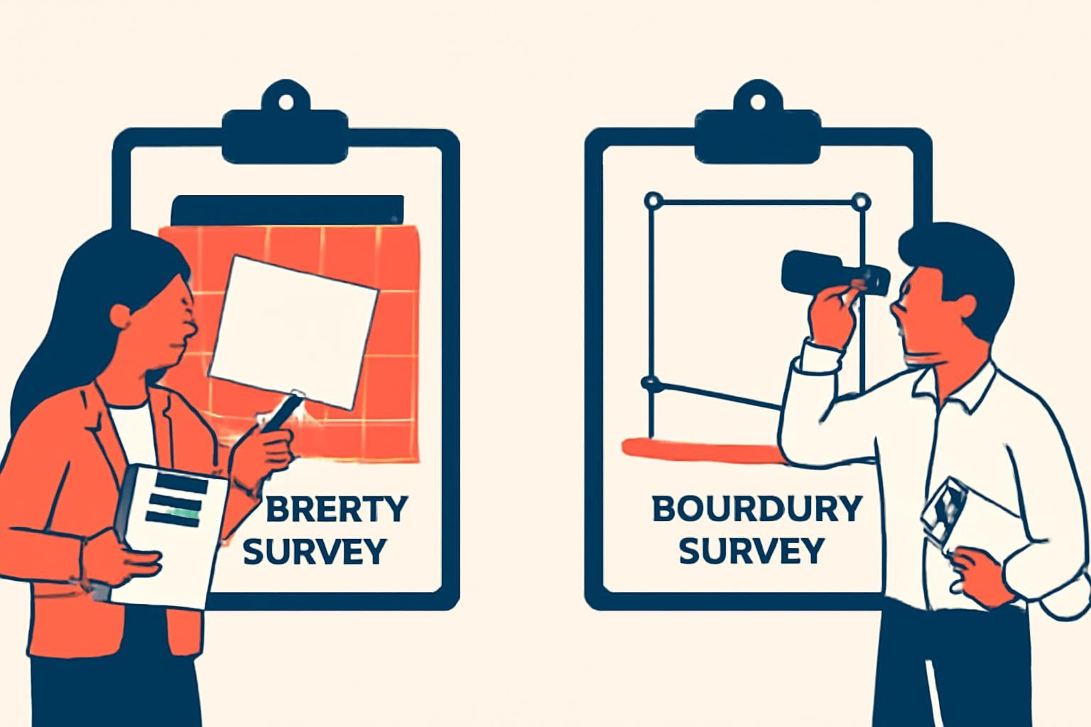
What types of surveys exist, and how does a boundary survey differ from a property survey?
A boundary survey focuses exclusively on locating and certifying the legal property lines. In contrast, a property survey may also include information on improvements, structures, utilities, and topography.
Boundary surveys are legally critical for ownership and dispute resolution, while property surveys serve broader purposes such as planning construction or evaluating property features. Ensure you request the correct survey type based on your intended use to avoid inadequate or excessive work.
Understanding whether you can buy land without a survey is important for navigating property transactions safely can you buy land without a survey.
Can I conduct my own boundary survey in Minnesota?
Legally and practically, performing your own boundary survey is not advisable. Minnesota requires boundary surveys to be conducted by licensed surveyors to ensure accuracy and legal recognition.
Attempting to survey without professional equipment, expertise, and access to public records can result in errors with costly consequences, including disputes and invalid legal documents.
What questions should I ask a boundary surveyor before hiring?
Before engagement, ask your prospective surveyor these key questions:
- Are you licensed and insured in Minnesota? Can you provide proof?
- What is your experience with properties like mine in this county?
- Can you provide a detailed, itemized cost estimate?
- What is your estimated timeline and availability?
- Will you handle permits and filings, and are those included in the cost?
- What documentation will I receive upon completion?
Answers to these questions clarify expectations, prevent surprises, and help you choose the right professional for your needs.
How do seasons and weather affect boundary survey work in Minnesota?
Surveys are best conducted during late spring to early fall when ground conditions are favorable. Snow, frozen soil, or heavy rain can complicate fieldwork by obscuring markers or restricting site access.
Plan surveys accordingly and discuss scheduling flexibility with your surveyor, especially for projects sensitive to deadlines.
What documentation will I receive after a boundary survey?
Upon completion, expect to receive:
- Survey Maps: Detailed drawings showing boundary lines, property corners, and any encroachments or easements.
- Legal Descriptions: Precise written definitions of the property boundaries suitable for deeds or legal documents.
- Certification or Surveyor’s Statement: Attestation of accuracy and compliance signed by the licensed surveyor.
Review these documents carefully and store them with your property records for future transactions or legal protection.
When should I update or redo a boundary survey?
Update your boundary survey when you undertake significant property changes, encounter boundary disputes, or change ownership. Additionally, if many years have elapsed since the last survey and local conditions or records have changed, a fresh survey can prevent disputes.
Keep monitoring your property lines, especially if you plan improvements, sales, or financing events that require precise legal boundaries.
How can technology improve boundary survey accuracy?
Modern technology has boosted survey precision and efficiency. GPS receivers enable high-accuracy location data, while drones provide aerial imagery that complements ground measurements.
Specialized software assists in processing data to create detailed, accurate maps quickly. While technology reduces errors, the surveyor’s experience in interpreting collected data remains crucial.
Summary checklist for deciding on a Minnesota boundary survey
| Step | Action | Verification or Outcome |
|---|---|---|
| Identify purpose | Define whether survey is for purchase, dispute, development, or refinancing | Choose survey type and detail level accordingly |
| Gather property info | Collect deeds, prior surveys, legal descriptions | Provide to surveyor to scope work properly |
| Consult surveyors | Request multiple quotes, check licenses & experience | Compare itemized estimates and timelines |
| Assess cost drivers | Evaluate property size, terrain, complexity | Confirm extras like easements or permits needed |
| Confirm local requirements | Contact county or municipal offices about permits or filings | Account for these in cost and timing |
| Schedule survey | Plan timing during favorable seasons | Ensure survey completion aligns with land deal or project timeline |
| Review final documents | Examine maps, legal descriptions, certifications | Store securely for legal and transaction use |
With this preparation and verification, you can confidently navigate Minnesota boundary survey pricing and processes, avoid delays, and protect your land investment.
For a comprehensive overview of important factors, explore our detailed guide on Land Due Diligence.
This content is for informational purposes only. It does not constitute accounting, financial, or legal advice. Please consult a qualified professional before making decisions based on this information.



