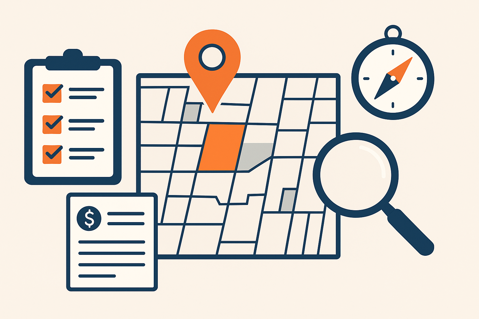
Mapping tools are essential for identifying high-demand land because they consolidate vital geographic and market data, helping land investors locate promising opportunities efficiently. This guide explains how to use these tools pragmatically, what data to verify, and how to incorporate mapping insights into your buying decisions.
For a deeper understanding of the investment process, explore our comprehensive guide on investing.
By leveraging mapping tools properly, you can screen potential parcels faster and narrow your focus to areas showing strong indicators of demand. But it is crucial to understand their limitations and confirm critical facts through official records and local professionals before offering or closing any land deal.
What Are Mapping Tools and How Do They Help Find High Demand Land?
Mapping tools are digital platforms that overlay land-related data on geographic maps, using Geographic Information Systems (GIS) technology. They help investors visualize trends, zoning, demographics, infrastructure, and land values in one place, reducing guesswork.
Understanding the basics of mapping tools can enhance your approach to how to find land deals how to find land deals effectively.
For land investing, their primary value is highlighting areas with growing populations, rising economic activity, planned infrastructure, and favorable zoning,key signals of high demand. However, these tools only provide screening signals; the controlling facts must be confirmed with county records, zoning offices, and a site visit.
Before acting on mapping insights, verify property ownership and boundaries through the county assessor, confirm zoning and permitted land uses with planning departments, and review environmental or development constraints using official sources. Recognize that mapping tools can miss local nuances, regulation changes, or access issues that affect value.
Which Features Matter Most When Choosing Mapping Tools for Land Investing?
Choose mapping tools that offer layered data views including zoning, parcel boundaries, topography, demographics, and infrastructure. A user-friendly interface that lets you toggle data layers and apply filters is important to quickly isolate high-demand areas based on your criteria.
Integration with external data sources such as recent sales records, tax assessments, and economic indicators adds depth for evaluation. Tools with export or sharing functions are useful if you collaborate with partners or professionals.
Keep in mind premium tools come at a price, but free or lower-cost options may lack critical data or features for thorough investment screening. Confirm the update frequency of data layers, as out-of-date information can mislead decisions.
How Can You Use Mapping Tools to Analyze Specific Land Areas Effectively?
After initial screening, use mapping tools to study zoning maps to check what development or uses are authorized on a parcel. This affects what you can build, your exit strategy, and marketability.
📘 Get Your FREE Land Investing Strategy Guide
Discover how savvy investors build passive income with vacant land.
Analyze topography layers to identify difficult terrain or flood-prone zones that raise development costs or limit usability. Look at road networks and utility access layers to gauge connectivity. Properties with poor or no legal access often require additional expense or can’t be developed.
Review demographic layers showing population density, age groups, and income levels to see if the area’s profile matches your intended project, whether residential, commercial, or agricultural. Finally, study nearby amenities , schools, hospitals, shopping , because these support demand.
Always confirm this data locally by contacting planning departments, reviewing county deed and plat records, and performing a physical site visit. Mapping tools can highlight red flags like unresolved access issues or zoning mismatches quickly.
What Data Sources Do Mapping Tools Rely On and Why Does Verification Matter?
Mapping tools pull data from public records (county property and tax databases), satellite and aerial imagery, census demographics, environmental overlays, and transportation networks.
Each source differs in accuracy and update frequency. Public records are authoritative but may lag if recent developments or zoning changes occurred. Satellite imagery shows physical conditions but cannot replace title verification or legal access confirmation.
Demographic data offers projected trends but may smooth over local anomalies. Environmental layers such as flood zones or protected habitats help assess risks but require local jurisdiction confirmation during due diligence.
For an investment decision, use mapping tools only as a starting point. Always follow up with the relevant county offices, title companies, and environmental agencies to verify the controlling facts that affect land use and value.
How Do You Identify High Demand Areas Using Mapping Tools?
Focus on areas with consistent population growth, expanding infrastructure projects, and positive economic indicators seen on mapping tools.
- Population Growth: Areas showing increased population densities often drive land demand. Cross-check these with census changes and local growth plans.
- Economic Activity: Employment hubs, new business developments, and rising income levels indicate demand for residential and commercial land.
- Infrastructure Improvements: New roads, utilities extensions, schools, and transit projects typically precede higher land values.
After identifying such areas, confirm planned public projects via local government websites or planning offices and analyze recent comparable land sales through county auction or MLS records where available.
How Can Mapping Tools Help Assess Investment Risks Accurately?
Use environmental overlays to assess flood plains, wildfire zones, protected lands, and erosion risks that can restrict development or increase costs.
Analyze historical sales volatility and land value trends visible in some tools to understand market fluctuations. However, these trends need local context,economic shocks or policy changes can abruptly alter trajectories.
Always supplement mapping insights with title searches to detect liens or easements, and consult with local experts or contractors to identify practical challenges. Mapping tools cannot detect unrecorded access problems or informal use restrictions, making a physical inspection essential.
What Are Common Mistakes to Avoid When Using Mapping Tools?
- Blind Reliance: Treating mapping data as definitive without verifying ownership, zoning, and access records can result in costly errors.
- Ignoring Local Nuances: Missing site-specific conditions such as seasonal access issues, utility availability, or community opposition.
- Relying on a Single Source: Each mapping tool has gaps. Cross-referencing multiple tools and offline sources improves reliability.
- Overlooking Regulatory Changes: Zoning or environmental regulations can change; always check current rules directly with local authorities.
How Should You Combine Mapping Tools with Other Research Methods?
Use mapping tools as an initial screening filter, then deepen research through:
- County Records: Confirm legal ownership, deed restrictions, and recent sales.
- Local Planning Departments: Verify zoning, permits, and upcoming infrastructure projects.
- Field Visits: Inspect physical access, terrain, and neighborhood condition.
- Networking: Speak with local real estate agents, surveyors, and residents to gather qualitative insights not on maps.
This integrated approach reduces surprises and helps build a defensible offer range or walk-away criteria based on verified facts rather than assumptions.
What Types of Land Are Best Suited for Investment Using Mapping Tools?
Mapping tools can help target residential parcels near growing communities, commercial plots adjacent to emerging business hubs, or agricultural land near key markets.
Each has specific indicators to verify:
- Residential Land: Check proximity to schools, utilities, and zoning for housing.
- Commercial Land: Analyze traffic patterns, zoning for business uses, and nearby economic activity.
- Agricultural Land: Assess soil quality (if data available), water access, and market proximity.
Mapping tools assist in preliminary screening but confirming parcel-specific factors like deed restrictions, water rights, and easements requires consulting local officials and title professionals.
How Can You Use Mapping Tools for Long-Term Investment Planning?
Mapping tools can help forecast growth by visualizing historical trends and planned developments. Use them to analyze how land use changes (e.g., agricultural to residential) may affect demand and price appreciation over years.
Model your investment timeline by tracking infrastructure projects’ expected completion and assessing when population growth will create demand. Incorporate land use policies and environmental constraints visible on maps to anticipate future regulatory scenarios.
Always track changes in mapping data over time and supplement forecasts with local development plans and economic reports to adjust your strategies accordingly.
How Can You Evaluate Competitiveness and Demand of a Land Area with Mapping Tools?
Perform a comparative market analysis by using mapping tools to identify recently sold parcels with similar zoning and amenities. Evaluate how the supply of available land compares with demand indicated by population and economic growth.
Look for areas with growing sales velocity and rising prices, but verify that comparable sales reflect parcels with similar access, size, and restrictions to avoid overestimating value. Correlate market dynamics with economic data visible on maps for a fuller picture.
What Is a Practical Workflow to Use Mapping Tools When Considering Land Investment?
- Define your intended use: residential, commercial, agricultural, or recreational.
- Use mapping tools to screen for areas showing strong demand signals such as population growth and infrastructure projects.
- Analyze each shortlisted parcel’s zoning, topography, accessibility, and amenities using layered data.
- Verify key data with county assessor, planning departments, and environmental agencies.
- Conduct a title search to detect ownership issues, liens, or easements.
- Perform an on-site visit to confirm access, terrain, and neighborhood conditions.
- Make a decision to proceed, adjust terms, or walk away based on confirmed risks, restrictions, and market context.
Following this workflow integrates mapping data into a disciplined investment analysis that reduces guesswork and uncovers genuine opportunities.
Summary of Key Takeaways for Using Mapping Tools in Land Investing
- Mapping tools are powerful screening instruments but are not a substitute for due diligence.
- Always verify mapping data against official county records and local authorities before negotiating offers.
- Layer demographic, zoning, environmental, and infrastructure data to identify high-demand areas suited to your investment goals.
- Be wary of data gaps, outdated information, and site-specific issues that mapping tools cannot reveal.
- Combine mapping tools with market research, in-person visits, and professional consultations for sound decision-making.
- Use a clear, stepwise workflow from screening to verification to finalize offers or walk away safely.
By mastering mapping tools within this decision framework, you can confidently locate and evaluate land with strong potential demand, reducing risk and sharpening your investment edge.
What should you do next to move from reading to taking action?
Land investing gets easier when you follow a clear process and use proven resources. These are the fastest ways to learn the steps, avoid common mistakes, and move toward your first deal with confidence.
This content is for informational purposes only. It does not constitute accounting, financial, or legal advice. Please consult a qualified professional before making decisions based on this information.



